Spacecraft Mass
≤ 350 kg
Volume (stowed)
≈ 1600 x 1112 x 900 mm3
SAR Signal
Frequency X-Band
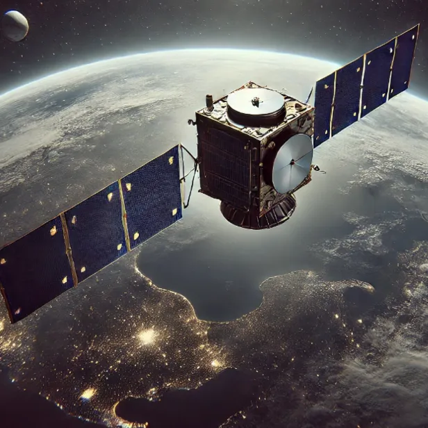
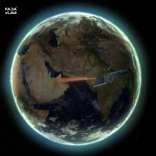
SIRB 1 is an advanced Synthetic Aperture Radar (SAR) satellite and the first satellite of the UAE Space Agency's National SAR Satellite Constellation Program - SIRB, designed to deliver precise, all-weather, day-and-night Earth imaging. Once launched, its powerful radar capabilities will support a wide range of applications - from environmental and agricultural monitoring to maritime surveillance, infrastructure management, disaster response, and defense operations - providing vital insights that drive smarter decisions and a safer, more sustainable world. Note: brochure names this product 'SIRB Satellite' rather than 'Synthetic Aperture Radar Satellite (SIRB)'.
For more details:
SPECIFICATIONS
- Spacecraft Mass: ≤ 350 kg
- Volume (stowed): ≈ 1600 x 1112 x 900 mm3
- SAR Signal: Frequency X-Band
- Polarimetry: Single Polarization V-V
- SAR Signal Bandwidth: Up to 1200 MHz
- Image Ground Resolution: Up to 17 cm
- SAR Imaging Modes: Spotlight, Strip map, ScanSAR
- Ground Swath: 5km x 5km - spotlight, ≥ 20 km in ranging - strip map